
File:LocationAzerbaijan.png
Size of this preview: 800 × 418 pixels. Other resolutions: 320 × 167 pixels | 640 × 334 pixels | 938 × 490 pixels.
Original file (938 × 490 pixels, file size: 49 KB, MIME type: image/png)
| Description |
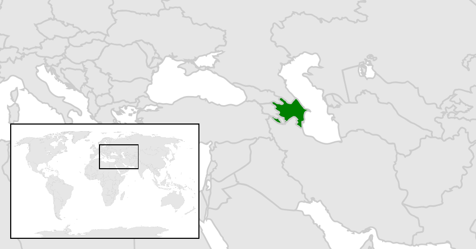
English: Location map for the Azerbaijan.
Deutsch: Karte zur Lage von Aserbaidschan. |
| Date | |
| Source | Originally created for English Wikipedia |
| Author |
Original by Vardion last update by Aivazovsky |
| This work has been released into the public domain by its author, Vardion. This applies worldwide. In some countries this may not be legally possible; if so: |

|
File:LocationAzerbaijan.svg is a vector version of this file. It should be used in place of this PNG file when not inferior.
File:LocationAzerbaijan.png → File:LocationAzerbaijan.svg
For more information, see Help:SVG. |
 |
File history
Click on a date/time to view the file as it appeared at that time.
| Date/Time | Thumbnail | Dimensions | User | Comment | |
|---|---|---|---|---|---|
| current | 15:36, 4 January 2024 | | 938 × 490 (49 KB) | Iktsokh | Montenegro |
| 09:51, 25 March 2014 |  | 938 × 490 (77 KB) | Interfase | Map with more accurate borders of Azerbaijan | |
| 02:38, 28 June 2013 |  | 250 × 115 (7 KB) | Globe-trotter | Reverted to version as of 01:38, 9 June 2006 | |
| 12:23, 12 November 2012 |  | 797 × 396 (75 KB) | Interfase | correct map | |
| 01:38, 9 June 2006 |  | 250 × 115 (7 KB) | Aivazovsky~commonswiki | ||
| 04:00, 7 June 2006 |  | 250 × 115 (7 KB) | Helmandsare | Location map for the Azerbaijan. Originally created for English Wikipedia by Vardion. {{PD-user|Vardion}} Category:Locator maps for countries Category:Maps of Azerbaijan | |
| 05:16, 10 December 2004 |  | 250 × 115 (7 KB) | EugeneZelenko | Location map for the Azerbaijan.<br/>Originally created for English Wikipedia by Vardion.<br/>{{PD}}<br/>Category:Country locator maps |
File usage
There are no pages that use this file.